Cal Poly Humboldt Campus Physical Plan
Merit Award /
2026, Analysis and Planning
Arcata, CA

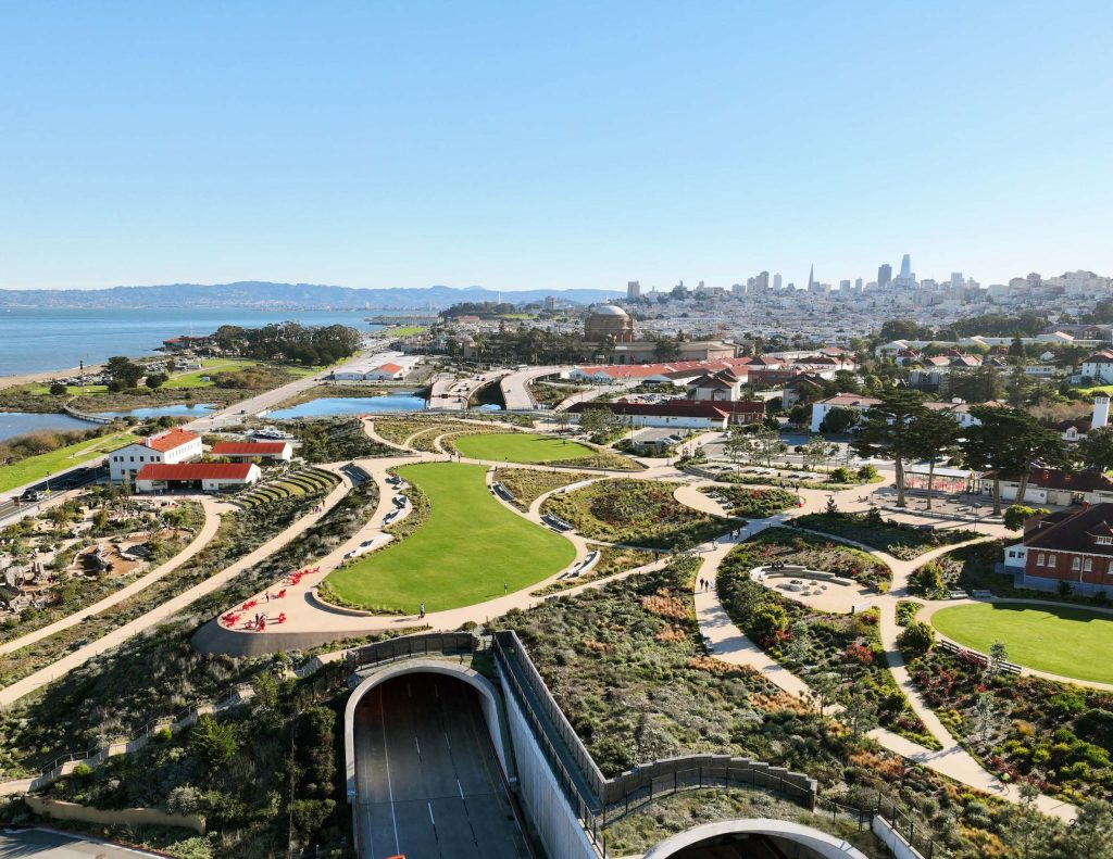
Place – Cal Poly Humboldt’s 144-acre campus and surrounding assets in the Arcata Bay area informs a Physical Plan that strengthens regional connectivity and integrates the university into its broader ecological context.
© Mike Fisher, Cal Poly Humboldt.

Purpose- The Campus Physical Plan guides long-term campus development, recommending improvements to academics, sustainability, infrastructure, mobility, and open space while creating a vibrant, people–first environment with new buildings centered around major gathering spaces that foster community and belonging.
© Mike Fisher, Cal Poly Humboldt.

People First — The plan prioritized inclusive engagement, reaching students, faculty, administrators, community members, and regional partners through extensive virtual and in-person outreach. Engagement was synchronized with meetings of cultural and advocacy groups and key cultural events, including the Indian Big Time + Social Gathering.
© Mike Fisher, Cal Poly Humboldt.

Guiding Principles–developed through extensive campus engagement-provide enduring, people-first direction for future decisions and inform four adaptable frameworks that collectively shape a cohesive, evolving vision for Cal Poly Humboldt’s long-term development.
© Mike Fisher, Cal Poly Humboldt.

Student Experience- Over 250 student persona cards gathered through the engagement process informed four anonymous profiles capturing shared traits, challenges, and passions, helping the team design with empathy, apply an intersectional lens, and elevate experiences of often-overlooked groups.
© Mike Fisher, Cal Poly Humboldt.

Community Experience-Extensive engagement feedback guided the planning team to address community needs and shape inclusive campus neighborhoods focused on food access, housing, open space and climate action, belonging, mobility, accessibility, and flexible future growth.
© Mike Fisher, Cal Poly Humboldt.

Planning Scenarios — The study of three scenarios helped refine the campus’s future identity, ultimately consolidating into a framework featuring an interdisciplinary academic core surrounded by living-learning communities, building on existing infrastructure and addressing equity, mobility, housing, food access, and polytechnic goals.
© Mike Fisher, Cal Poly Humboldt.

Site Plan + Vision – Surrounded by forest and adjacent to downtown, the campus connects to regional ecology while balancing mixed uses. Centered on a pedestrian-friendly B Street and memorable open spaces, the plan uses landscape as a catalyst to promote collaborative and authentic experiences.
© Mike Fisher, Cal Poly Humboldt.

Landscape Framework- The plan establishes two major open spaces, a pedestrian spine and three distinct green corridors that follow existing creeks and forests to create ecological buffers and connect campus neighborhoods. This integrates natural landscapes into daily life and reinforcing a sustainable, cohesive campus identity.
© Mike Fisher, Cal Poly Humboldt.

Traversing the Terrain- The campus’s steep terrain enables unique placemaking buildings on slopes provide access up the hill, while the steepest areas become preserved forest or terraced gardens. Carefully framed views at key gateways and vantage points create memorable experiences and enhance wayfinding.
© Mike Fisher, Cal Poly Humboldt.

Signature Open Spaces- Interconnected open spaces like Heartwood Commons and Polytechnic Place shape campus identity. Linked by the pedestrian-focused B Street Spine, these signature places form vibrant, interdisciplinary hubs that blend historic character, natural landscapes, and flexible gathering areas.
© Mike Fisher, Cal Poly Humboldt.

Campus Approach – The Humboldt Welcome District serves as the campus’s front porch, immersing arrivals in a vibrant mixed-use environment. Centered on pedestrian-oriented Polytechnic Place, it showcases “learn-by-doing” activity and offers a safe, lively plaza for students, visitors, and the community.
© Mike Fisher, Cal Poly Humboldt.

Heartwood Commons – The Heartwood Commons strengthens east–west and north–south connections by creating a new pedestrian link between the Library and Founders Hall, replacing steep stairs with terraced seating, and connecting seamlessly to the B Street Spine campus gateways.
© Mike Fisher, Cal Poly Humboldt.

Climate Action + Sustainability The plan evaluates future energy, water, carbon, and mobility demands to identify performance gaps and guide strategies that promote efficient and resilient infrastructure. These sustainability priorities are embedded in both catalyst projects and system-wide de–sign guidelines.
© Mike Fisher, Cal Poly Humboldt.

Stormwater Strategies -Stormwater elements are integrated into campus design through green infrastructure that manages runoff, improves water quality, and reduces flooding. Acknowledging the steep terrain, the plan tailors strategies by area while fostering stewardship of rain-nourished forests and open spaces.
© Mike Fisher, Cal Poly Humboldt.
Client
Cal Poly Humboldt
Project Team
Tengteng Wang, PLA, AICP, APA, Lead Landscape Architect, SmithGroup
Todd Kohli, PLA, ASLA, CLARB Certified, Senior Principal, SmithGroup
Elle Brauchle, Lead Planner and Architect, SmithGroup
Rosa Sheng, FAIA, Director of Justice, Equity, Diversity, and Inclusion, SmithGroup
Georgia Sarkin, RIBA, AICP, Senior Principal (PIC) Lead Campus, Urban Design + Planning, SmithGroup
John Leys, P.E., LEED AP, Design Principal, Sherwood Design Engineers
Project Statement
California’s historic investment in CSU Humboldt’s designation as the state’s third polytechnic demanded a bold, people‑first vision for the campus. Set within a redwood forest, minutes from the coast and the bay, the extraordinary ecology of the place shapes daily life and connects people, place, and environment. This comprehensive planning process establishes a transformative framework for the next 10–20 years, aligning buildings, sustainability, community life, infrastructure, mobility, ecological systems, and open space. Developed through deep co‑creation with the campus community, and rigorous analysis across systems, it strengthens Humboldt’s distinctive natural setting while aligning academic, social, and environmental goals. The result is a vibrant, interdisciplinary campus that prioritizes belonging, dignity, and justice and links community forests, open spaces, productive landscapes, and ecological systems to foster resilience, innovation, and shared purpose.
Project Description
With California’s historic investment in CSU Humboldt’s designation into the third polytechnic, this moment demanded an intersectional approach to planning, focusing on revitalizing the North Coast regional economy, leveraging sustainable knowledge related to natural and local resources, addressing equity and diversity gaps by expanding opportunities for the community, and increasing access to new programs with a focus on hands on learning and addressing State workforce needs.
This moment triggered the need for a bold physical planning framework capable of guiding significant academic, residential, and research growth over the coming decades. The Campus Physical Plan Update provides this framework: a rigorous, community and context driven strategy that integrates land use, mobility, ecology, and cultural values into a cohesive long-term vision. The campus plan is a dynamic planning tool that prepares the university for sustained expansion while safeguarding the social and environmental systems that define its identity.
The comprehensive planning process began with an evaluation of campus conditions including topography, hydrology, vegetation, circulation, structures, community patterns and sentiments, and ecological sensitivities. A large part of this discovery was through community outreach in the form of focus group sessions, online surveys, and workshops. The plan recognizes the campus as part of a larger system: serving as a major civic and economic anchor for the city of Arcata and the broader region, connecting ecosystems from the Arcata Community Forest and to the Bay, embedded within two watersheds, and surrounded by 11 federally recognized tribes and rancherias. By understanding the university’s identity within these overlapping networks, the plan identifies a growth strategy that strengthens both the institution and the surrounding community.
The initial outreach and research informed the proposed organization of the campus around a new open space hierarchy that fosters a vibrant, interdisciplinary, people-first environment. This design stems from the reinvented main spine of the campus, B Street, into a pedestrianized corridor flanked by two new, distinct and diverse open spaces, three new student hubs, and three green corridors. The two new hubs are focused on the historic heart to the north and future growth on the south end of campus. The northern heart of campus is built from the University’s original historic structure, Founders Hall, and its connection to the library. This existing space is connected through a series of narrow steps and formal planters. The plan proposes a regrading of this connection to promote accessibility and openness, a challenge with the topography of the site but a necessity to align with the vision of the University. This results in a generous new outdoor open space system with wide terraces, walkways, and a variety of diverse spaces to linger and congregate.
The public realm integrates with future interdisciplinary, flexible buildings, which are not siloed by academic departments. Future live-learn housing communities are proposed around the perimeter of campus integrating housing with student services, opportunities for learning and student-run gardens for food production. This approach was curated out of engagement with indigenous students, sustainability groups, and the Rou Dalagurr Food Sovereignty Lab, grounding the plan in local knowledge systems and sustainability. These conversations revealed the importance of student-run agricultural areas, stewardship learning, and the cultural significance of land-based practices. The plan identifies feasible locations for these uses despite soil limitations and steep terrain. Native ecological typologies including coastal riparian, coastal scrub, and redwood forest systems structure the planting strategy, stormwater network, preservation plans, and open space organization. These landscapes serve as living laboratories that support teaching, research, and public education while reinforcing the campus’s distinct sense of place.
Ultimately, the plan positions the university to grow sustainably, equitably, and responsibly. It provides a flexible, evidence-based, and community-informed framework that integrates academic goals with environmental performance, cultural values, and long-term resilience. By aligning land planning, ecological analysis, and community priorities, the Cal Poly Humboldt Campus Physical Plan demonstrates how landscape architecture can guide institutional transformation while preserving the natural and cultural systems that define a campus and its region.