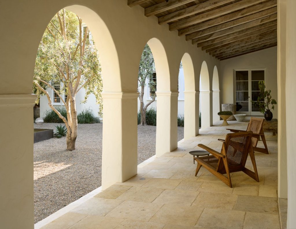
Leetow Mountain Ecology Restoration & Recreation Planning
Merit Award /
2025, Analysis and Planning
Shenzhen, China

SITE CONTEXT
Leetow Mountain, within Shenzhen’s major green space context – mountainous terrain, is surrounded by dense urban fabrics in the north of Shenzhen. The project explores its potential for redevelopment to improve ecology and increase accessibility for adjacent neighborhoods.
©Instinct Fabrication; Eric Qiu; Ying Lou

EXISTING CONDITIONS
With a 670-acre topographic area, the mountain has a decent ecological base to improve forest, water system and wildlife habitats, except for the west corner, a flat site of a former quarry resulting in disconnected ecology.

FOREST RESTORATION
The forest restoration outlines natural conservation, micro-scale restoration, and forest community rebuilding for woodlands while removing invasive species and renewing forest windows gradually in the next 10 years.

WATER SUSTAINABILITY
By removing obstacles and regrading the slope, the water system is reconnected between streams/swales and large water bodies (wetland, ponds and reservoir). Along streams, dead trees, stones and soils are used to establish habitats and a continued water system.

WILDLIFE HABITATS
Combined with the protection and restoration of forest, wetlands, streams and other nature resources, habitats for birds, frogs, small mammals and insects are encouraged and created in multiple ways.

RECREATION & TRAILS PLAN
The 3-tier trails system offers diverse options of hiking and nature experience for a wide range of people. The flat ground on the west corner will be developed into a recreational zone with various sports fields, kids playground and a wetland park.

PRIMARY WALKWAY
A 2-mile primary walkway links various destinations, recreational nodes and 3 entrances on the east, south, and west. The zig-zag trail is elevated, avoiding vegetation and animals, and provides viewing platforms for rest and recreation.

SECONDARY TRAILS
Secondary trails route existing small paths and will be built with recycled on-site stones. It mostly follows the mountain’s topography, keeping most of the ecology along the way.

FAMILY TRAILS
The trail is paved with a combination of dead tree bark, trunks, branches, and stones fetched nearby. A horse riding program and plant’ name tags offer more fun and outdoor learning experience.

RAW TRAILS DIVERSITY
Raw trails, a third-tier circulation for self-challenging users seeking adventure, minimize impact on the landscape and ecology. Located around an open corridor incline with steep surfaces up to 40%, these trails serve diverse purposes: scientific research, hiking exploration, and competitive cycling.

WILD NATURE EXPERIENCE & WILDLIFE HABITATS

RECREATION ZONE
The 48-acre integrated recreational area is planned on the western corner, which is the largest flat area of the site at the foothill of the mountain. It also has proximity to the dense residential area to the west, providing an ideal location for all-age users who enjoy recreational activities, fitness, and sports.

FROM BOLD CLIFF TO CLIMBING FACILITY.

KIDS PLAYGROUND AT FOOTHILL.

SOCCER FIELDs & SOUTH ENTRANCE
Client
Longhua District Municipal Management Bureau
Project Team
Ying Lou, Lead Landscape Planner
Wei Guo, Sihan Pan, Eric Qiu, Qi Yang, Robin Wu, Jiali Liu, Na Yang, Hao Du, Benwei Wang, Zhibo Xu, Landscape Designers
Jing Wang, Ecology Consultant
SAN + Instinct Fabrication, Visualization
aoe, Architects
Project Statement
Leetow Mountain, a 600-ft-high, 670-acre hill in northern Shenzhen, is a key green space in this densely populated, mountainous coastal city adjacent to Hong Kong. With around 800,000 residents near the mountain, the area faces a shortage of large-scale public green spaces, despite high demand for outdoor recreation in this bustling metropolis. In recent years, communities and government entities have recognized the potential of Shenzhen’s hills and mountains, which constitute 68.7% of its green space, as vital resources to address the lack of accessible open areas through redevelopment.
The project aims to deliver a feasible vision to decently expand the usages of Leetow Mountain to offer nature experiences, amenities and recreational opportunities for people nearby, while preserving and reinstalling ecosystems in this urban mountain with abundant natural resources.
Project Description
Key Challenges
Deterioration of ecology and geological steep landform makes most of the mountain unsafe and hard to access. The Planning also envisions its future implementation to be low-impact and sustainable so that interventions and solutions should be as subtle, sustainable and low-cost as possible.
Key Strategies
1. Establish the Trail System by Reusing the On-site Trace and Materials
The mountain’s unique location centers it in a dense population surrounded by residential towers, clothing manufacturing plants, office buildings, primarily in the west and east districts. The trail system is crucial for attracting hikers and offering recreational programs while connecting adjacent land use and neighborhoods. A 2-mile primary walkway links various destinations, recreational nodes and 3 entrances on the east, south, and west. The zig-zag trail is elevated, avoiding vegetation and animals, and provides viewing platforms for rest and recreation. Secondary trails cover more of the mountain’s pedestrian circulation, planned based on slopes, view angles, and ecological voids. They use on-site materials to form a nature trail that follows the mountain’s topography, offering a variety of ecological environments. Raw trails, a third-tier circulation for self-challenging users seeking adventure, minimize impact on the landscape and ecology. Located around an open corridor incline with steep surfaces up to 40%, these trails serve diverse purposes: scientific research, hiking exploration, and competitive cycling.
2. Integrate Decent Recreational Programs
The 48-acre integrated recreational area is planned on the western corner, which is the largest flat area of the site at the foothill of the mountain. It also has proximity to the dense residential area to the west, providing an ideal location for all-age users who enjoy recreational activities, fitness, and sports.
The foothill standing next to the flat area, once a quarry and presented as a bold cliff, is restored to a manageable size with a new function. The sides of the cliff are filled in with new plants, restoring the natural slope. A rough stone retaining wall forms the façade, and activity facilities are added to the reserved area. Slides, rock climbing, and climbing nets built at various cliff heights become kids and families’ favorite. The comprehensive sports area is on the south side of the integrated play area and offers diverse sports fields: 4 tennis courts, three basketball courts, 4 table tennis tables, and a 1 mile long smart running track that circles the entire area. This sports complex offers a wide range of sports options to extend the adjacent residents’ daily activities without hiking up to the hill.
3. Restore Nature (Forest and Water System) and Wildlife Habitats
The ecosystem strategy focuses on preserving and nurturing the forest, reestablishing the water system, and enhancing wildlife habitats. The mountain forest is a nursery and growing forest with diverse plant species, some with live seedlings in the understory. The woodland has a self-regenerative capacity. Selective treatment is needed, especially in the southwest corner for invasive plants. The restoration plan outlines natural conservation, micro-scale restoration, and forest community rebuilding for woodlands while removing invasive species and renewing forest windows. For immature forests, stunted vegetation is removed to open forest gaps in the canopy that change light, temperature, water, and soil, promoting seed germination and species diversity. For mature forests, shade-tolerant understory irrigation plants are supplemented to improve the vertical structure and water capacity of the forest floor.
Water sustainability is achieved by preserving existing water bodies, including wetlands and a reservoir, as flood catchment surfaces. Aquatic plants are planted at varying elevations to create a resilient landscape. Various gully swales are regraded with existing rocks, stones, and tree debris to create multiple stream swales. Enhancing vegetation restoration on both sides of the stream provides energy and food sources for animals and microorganisms. Debris from woods, soil, and rocks is reused to create habitats for various animals.
The plan considers the diverse wildlife needs, including large animals like squirrels and hogs, by providing ecological corridors for wildlife movement. A highway on the east side separates Leetow Mountain from other mountains, restricting wildlife movement. A green bridge ensures ecological continuity and safe animal crossings. The comprehensive ecological planning offers a richer and safer nature experience, including woodlands, playable streams, wetlands, bird sanctuaries, etc.